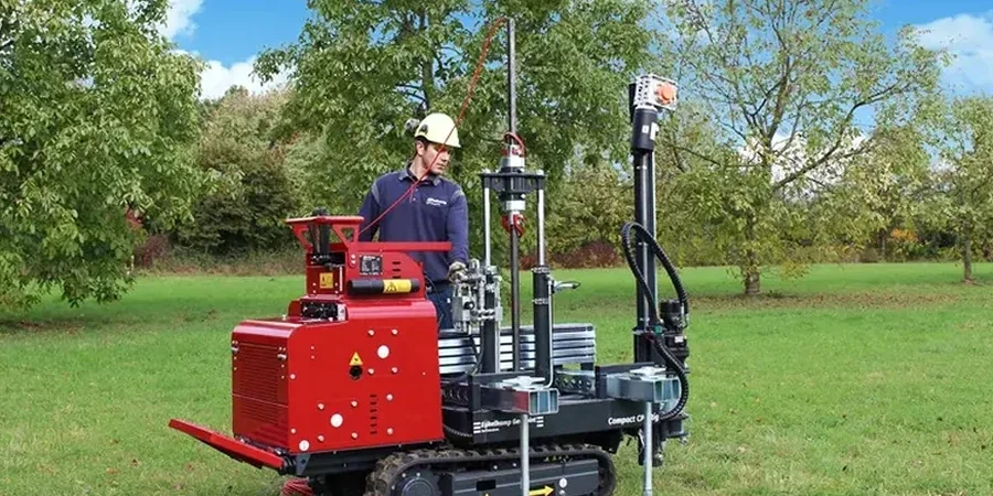
A three-story medical office near the Arkansas River almost went off schedule last fall. The geotech report relied on sparse SPT data, but the river terrace deposits were erratic—sand lenses and soft clay pockets hidden between boreholes. We mobilized a CPT rig within 24 hours. The real-time stratigraphy showed exactly where the bearing layer dropped three feet, something conventional drilling missed entirely. Wichita’s subsoil is shaped by Pleistocene alluvial sequences and the Wellington Formation; blanket assumptions based on one boring per 2,500 square feet simply do not work here. For projects requiring precise settlement predictions, the plate load test validates the stiffness parameters derived from CPT data, giving structural engineers confidence in the numbers they feed into the model.
Continuous CPT data in Wichita reveals thin sand seams that SPT spoon counts miss entirely—those seams control drainage and settlement.