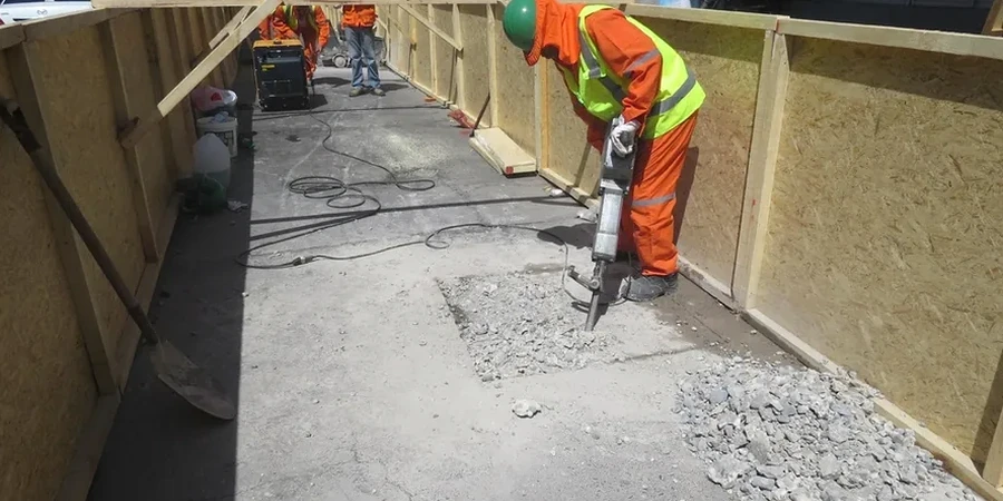
Wichita sits on a thick sequence of Permian shales, siltstones, and interbedded limestones belonging to the Wellington and Ninnescah formations. The Arkansas River cuts through the city’s west side, leaving alluvial deposits that complicate every dewatering plan. When a geotechnical report only estimates permeability from grain-size correlations, it misses the fracture flow that dominates in these weathered shales, and that’s exactly where a field permeability test (Lefranc/Lugeon) provides the numbers a desktop study never can. The USGS monitoring well network in Sedgwick County shows static water levels that fluctuate seasonally between 10 and 35 feet below grade, a range that makes packer placement and test stage isolation critical for reliable data. Whether it’s a commercial excavation near the river or a stormwater infiltration basin on the east side, we run these tests following ASTM D6391 and the USBR earth manual procedures so the hydraulic conductivity you receive holds up under peer review.
Fracture flow in the Wellington Formation can produce hydraulic conductivity values two orders of magnitude higher than what a lab test on an intact core would suggest.