GEOTECHNICAL ENGINEERING
WICHITA
HomeGeophysicsMASW / VS30 (shear wave velocity)

MASW / VS30 Shear Wave Velocity Testing in Wichita, Kansas

Rigorous testing. Clear reporting.

LEARN MORE

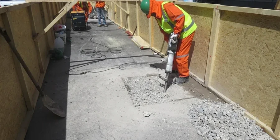
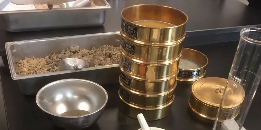
A five-story medical office building near the East Harry corridor was stalled because the geotechnical report didn't include a VS30 measurement. The city reviewer flagged it outright. Wichita sits on a mix of Permian shale, limestone, and deep alluvial deposits along the Arkansas River, and the transition from rock to sediment can happen within a single lot. Our crew runs active MASW with a 24-channel seismograph and a 10-pound sledge source, switching to passive arrays when we need to resolve deeper than 30 meters. For sites near the river, where soft clays and loose sands dominate, we often pair the survey with CPT testing to cross-check stratigraphy, and we run grain size analysis on nearby borings to validate the velocity profile against material type.

A 30-meter shear wave velocity profile in Wichita can shift your seismic design category from C to D and change your lateral base shear by over 35 percent.

Our service areas

Our approach and scope

Wichita's population just crossed 400,000, and the city has been expanding eastward into areas where the Wellington Formation shale weathers to a stiff clay that can fool you on a boring log. A VS30 of 360 m/s lands you in Site Class C, which is where most of the metro falls. But we've measured velocities as low as 180 m/s in the alluvium along the Little Arkansas drainage, pushing those sites into Site Class D and increasing the design base shear by 30 to 40 percent. Our processing uses the multichannel analysis of surface waves with dispersion curve picking verified by at least two analysts. When a site has abrupt lateral changes, like the contact between terrace deposits and bedrock near the old rail yards, we supplement the line with a seismic refraction spread to map the interface depth.
MASW / VS30 Shear Wave Velocity Testing in Wichita, Kansas
Technical reference — Wichita

Local considerations

A twenty-four channel spread of 4.5-hertz geophones gets planted at two-meter spacing across a parking lot or graded pad, and the sledge starts hitting the plate every few meters along the line. The risk isn't in the hammer swing. It's in the interpretation. Wichita has a lot of cultural noise: I-135, the rail corridors through downtown, and the flight path from McConnell Air Force Base all generate low-frequency ground motion that can contaminate passive recordings if you don't window the data carefully. We run long ambient noise stacks and reject windows with monochromatic signals. A poorly filtered dispersion curve can bias VS30 by 60 m/s or more, which is the difference between Site Class C and D. That mistake doesn't get caught until the structural engineer runs the lateral analysis and finds the numbers don't reconcile with the foundation design.

Need a geotechnical assessment?

Reply within 24h.

Email: [email protected]

Video overview

Reference standards

ASCE 7-22 Minimum Design Loads and Associated Criteria for Buildings and Other Structures, IBC 2021 Section 1613 Earthquake Loads and Site Classification, ASTM D7400 Standard Test Methods for Downhole Seismic Testing (for complementary borehole checks)

Typical values

ParameterTypical value
Survey methodActive MASW (sledge/weight drop) + passive MAM/SPAC arrays
Seismograph channels24-channel, 4.5 Hz geophones
Typical Vs30 depth range30 meters (extendable to 100 m with passive array)
Site Class resolutionClasses A through F per ASCE 7-22 Chapter 20
Source for active surveys10 lb sledge hammer or accelerated weight drop
Dispersion curve QCManual picking with fundamental mode verification
Reporting standardVs profile, Vs30 value, Site Class, and dispersion curve plots

Frequently asked questions

What does a MASW survey cost for a typical commercial lot in Wichita?

For a standard commercial lot in Wichita with a single-line active MASW survey to 30 meters, the cost generally falls between US$1,480 and US$3,310. The range depends on site access, line length, and whether a passive array is required to reach deeper targets.

How long does it take to get the VS30 report after the field survey?

Fieldwork for a single MASW line usually takes half a day, including layout, shooting, and demobilization. Processing and interpretation, including dispersion curve picking and inversion, requires three to five business days. We provide a preliminary Site Class by email as soon as the dispersion curves are verified.

Can MASW be performed on a site that has already been partially graded?

Yes, and it's common in Wichita. A graded pad works well for active MASW because the geophone coupling is consistent. But if the cut removed several meters of soil, the measured VS30 will reflect the post-grading condition, not the natural profile. We document the grading depth so the engineer can account for it in the site classification.

What Site Class is most common in the Wichita metro area?

Most of Wichita falls into Site Class C, with VS30 values between 360 and 760 m/s, corresponding to the shale and limestone of the Wellington Formation. Sites along the Arkansas River and its tributaries frequently drop into Site Class D, with velocities from 180 to 360 m/s in the alluvial silts and sands.

Location and service area

We serve projects in Wichita and surrounding areas.

View larger map