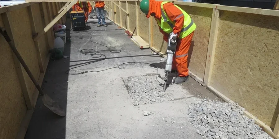
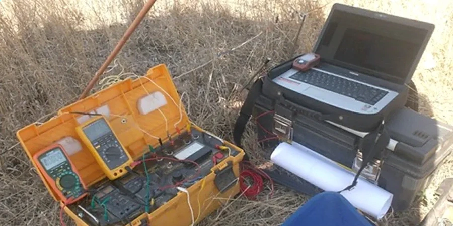
The Arkansas River undercuts Wichita's west side with Quaternary alluvium that shifts from coarse sand to tight clay lenses in less than 300 feet laterally. That variability is why contractors and environmental firms in Wichita rely on vertical electrical sounding (VES) before placing monitoring wells or designing retention basins. A four-electrode Schlumberger array lets us map resistivity contrasts down to 120 feet, distinguishing saturated silts from dry, compacted Permian shale. Because the city straddles the Wellington Formation, saltwater intrusion into shallow aquifers is a real concern—VES picks up those conductive plumes where auger refusal stops at cobble layers. We run the survey under ASTM D6431, processing the apparent resistivity curves with 1D inversion software to deliver a layered geoelectric model that ties directly to boring logs and CPT test cone refusal depths along the river corridor.
A 10 ohm-m drop at 20 feet in west Wichita almost always traces back to a perched water table perched atop a clay lens—miss that layer and your infiltration basin fails before the first season.